
Google Joins the Firefighting Effort

Powerful tools to reduce the damage caused by wildfires
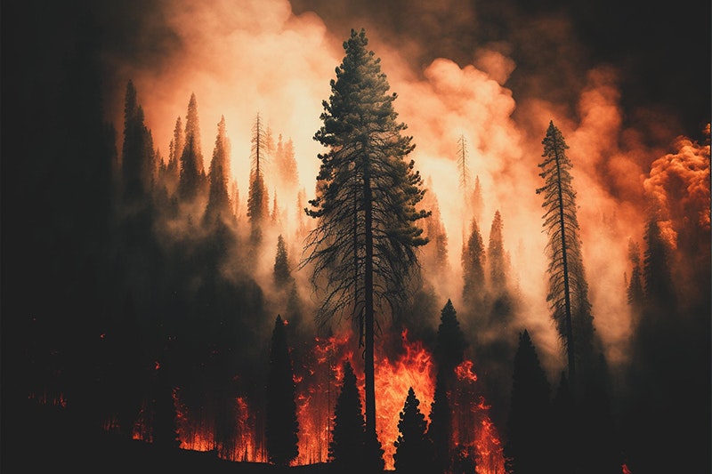
April 7, 2025. Google is putting its power in the fight against wildfires. The goal is to provide timely, accurate information to people in danger and to emergency responders. These efforts are part of Google’s broader commitment to using technology to address climate change, improve disaster response, and help communities stay safe during emergencies.
FireSat: A New Eye in the Sky
With help from partners like the Earth Fire Alliance and Muon Space—and funding from Google.org—Google recently launched a project called FireSat. This is a planned network of satellites designed to spot wildfires early, even when they’re still small.
FireSat’s goal is to detect fires as small as 16 by 16 feet within about 20 minutes. The information will be shared in nearly real-time to help firefighters and emergency crews respond faster. When the full system is up and running by around 2030, it will include over 50 satellites equipped with sensors and smart software to monitor fires around the world and provide regular updates.
What People Are Saying About FireSat
The response to FireSat has been largely positive. Many see it as a big step forward in using technology to fight wildfires.
Kate Dargan Marquis, a former California state fire marshal, called FireSat a “game changer,” saying that early information like this can save lives—especially if wildfires become more common and intense.
Christopher Van Arsdale, who leads climate and energy projects at Google Research, pointed out that today’s satellite images often aren’t detailed enough or updated often enough to catch fires early. FireSat is designed to close that gap by offering more frequent and accurate fire tracking.
At the same time, experts note that better data alone isn’t enough. Stopping wildfires also depends on good land management—like controlled burns and smart building practices in fire-prone areas.
Other Ways Google Is Using AI to Fight Wildfires
Tracking Wildfire Boundaries
Google also uses artificial intelligence (AI) to help track the spread of wildfires. By analyzing satellite images, Google’s tools can map out the edges of a fire in near real-time. This information appears in Google Search and Google Maps, giving the public a clearer view of where fires are burning. This helps people stay safe and make informed decisions during emergencies.

Simulating Wildfire Behavior: FireBench
Google is building tools that can predict how a wildfire might grow or spread under different conditions. One of these tools, called FireBench, uses detailed simulations to model various wildfire scenarios. This helps scientists and emergency teams understand possible risks and plan better responses.
Thanks, from Minoa FD
We are heartened to see Google train its formidable tools in service to firefighting. Thank you! We appreciate all partners in the effort to safe life and property from the dangers of fire.